


Florida Franklin & Wakulla Counties Fishing & Dive Sites Memory Card

Over 185 GPS Waypoints
Reef sites and fishing spots for Apalachicola, Carrabelle, St Marks and more
View Reef Sites Included on a Map and in a List. See what waypoints will look like on your GPS unit.
Click to Learn About Our Memory Cards Specifications
Data Files Included
Files for Your Unit: Garmin®,, Humminbird®, Lowrance®, Raymarine®, or Simrad® franklin-wakulla.gpx
franklin-county.kml
wakulla-county.kml
marine-protected-areas.kml
state-boundaries.kml
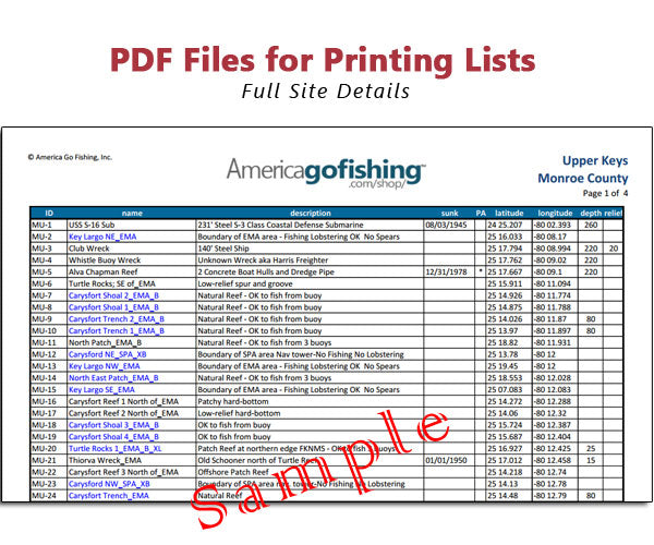
franklin-county.pdf
wakulla-county.pdf
user-guide.pdf
transfer-waypoints-to-GPS.pdf
chart-key.pdf
end-user-license.pdf

